Helping to ‘Yield Prophet’ for Growers across Australia

Helping to ‘Yield Prophet’ for Growers across Australia
- October 29, 2020
- BCG
- Blog
- No Comments
Exciting improvements are on the horizon for existing decision support tools in Australia. These improvements will further assist growers with on-farm decision making particularly around water and nutrient management, helping to ‘Yield Prophet for growers across Australia
Grain growers across Australia – both dryland and irrigated – sometimes struggle with making informed decisions around how much nitrogen should be applied to growing crops to achieve their yield potential and/or the timing and amount of water to apply for irrigated crops. To support growers with these decisions, several decision support tools have been developed in Australia. One of these tools is Yield Prophet®, owned by the Birchip Cropping Group (BCG). The BCG is currently a participating partner in the COALA project aiming to utilise earth observations from the Sentinel 2 satellite. The observations will help test and validate established products/services in the European marketplace to Australia. It is hoped that through this collaboration new functionality will be added to Yield Prophet for the benefit of current and future users.
So, what is Yield Prophet?
Yield Prophet is a decision support tool that simulates the effects of environment variables and management decisions on crop yields. It uses the Agricultural Production Systems sIMulator (APSIM) model (developed and maintained by the CSIRO and the APSIM initiative) to generate different scenarios at sowing, in season and at harvest. The tool can be used by both agronomic consultants and growers either together or independently.
Users of this program typically set up paddocks that they would like help with nitrogen decisions at the beginning of each cropping season. For each paddock, they need to enter soil information from soil test results and/or match to some of the pre-set soil data in the tool. The crop type/variety and sowing date also need to be recorded. Once each paddock is set up, the simulation can be run. The simulation uses historical climate data from the nearest Bureau of Meteorology weather station. A report will then be generated with a range of information including each paddock’s yield potential (Fig. 1) and how much/when nitrogen should be applied (Fig. 2). These simulations are then run throughout the growing season taking into account actual rainfall received. Reports can then be generated at any time, which will adjust the recommendations. For example, the report may suggest applying more or less nitrogen.

Figure 1: An example of the yield prediction component in the report generated in Yield Prophet on 1st June 2020.

Figure 2: An example of how the nitrogen information is currently displayed in a Yield Prophet report.
And how is the COALA project going to help Yield Prophet’s current capabilities?
This tool is currently used across Australia with a range of crop types represented. However, one of the limitations of Yield Prophet is that it is currently a point-based tool. Yield Prohpet runs the simulations off the soil information for a particular point in the paddock. And, whilst this is usually the most representative soil type for that area, it does not capture the spatial variability of soil types across paddocks well. This is where the BCG’s involvement with the COALA project comes in.
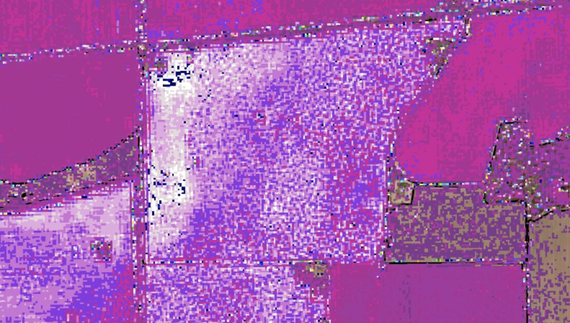
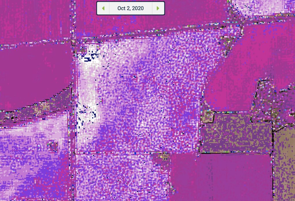
The COALA project will hopefully introduce some new spatial services to Australia, with tools and services already well established in Europe utilising satellite imagery. These services could further help growers with making crop management decisions. Tools/services currently under development include – crop nitrogen content, potential crop biomass, crop water stress level, yield predictions and management zone maps (Fig. 3).

Figure 3. A spatial representation of the nitrogen content (kg/ha) of a cereal crop underdevelopment Imagery currently displayed on the AgriSatwebGIS platform.
It is anticipated that after three years of in-field validation of the algorithms and consultation with selected early adopters within the Murray Darling Basin, including BCG’s pilot region around the Wimmera and Mallee in Victoria, Yield Prophet will be able to offer its current suite of services with some on a spatial level plus much more. These developments will be designed with the aim of helping ‘Yield Prophet’ for growers across Australia
Watch this space!
