
Tutorial Students
Educational Resources
- February 5, 2021
- UNSW
- Tutorial Students
- No Comments
COALA is currently working with educational providers such as the NSW Department of Education to develop educational resources about agriculture, remote sensing and earth observation. We will update this page regularly as more resources are developed.
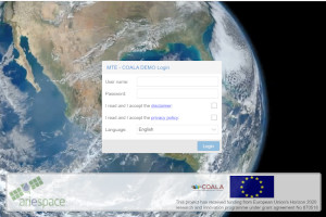
Getting started with Map Time Explorer (MTE)
- December 16, 2020
- Carlo De Michele
- Tutorial Students, Uncategorized
- No Comments
Map Time Explorer is a Web tool, which has been developed to visualize and to analyze geographical datasets towards time and space. It is a Web-GIS platform that can be easily used by anyone, since it provides functions and characteristics that are typical of the most used GIS. In this way, it results in a…
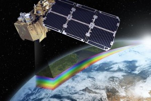
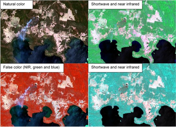
Earth Observation: Remote sensing and systems
- December 11, 2020
- Carlo De Michele
- Tutorial Students, Uncategorized
- No Comments
For almost 150 years people have recognised the advantages of getting a little distance between them and what they are studying. This is a technique we call ‘remote sensing’. “Remote Sensing” means that a measurement is taken remotely, without physical contact. The first people to do remote sensing were balloonists in the 1840s. They floated…
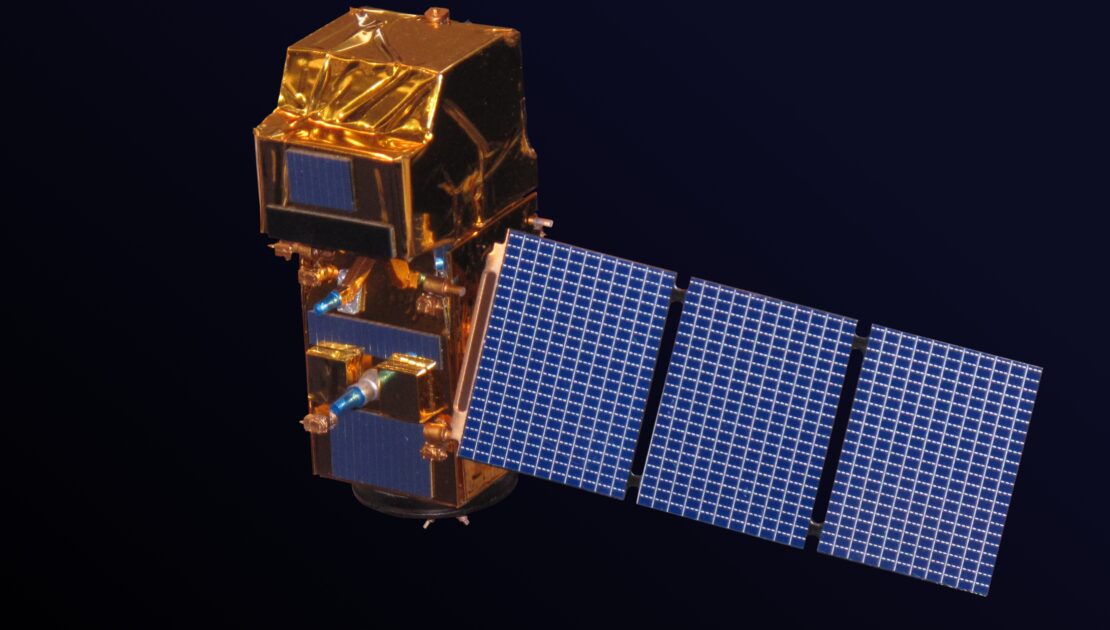
Copernicus: an agricultural helper from space
- September 23, 2020
- UNSW
- Blog, Tutorial Students
- No Comments
How does Copernicus, a program for satellites become an agricultural helper from space, and help us with agriculture here on Earth? In UNSW’s last blog ‘Copernicus: a Sentinel in space teaches us about land and the environment’ we talked about how satellites can help us learn more about processes on the ground, here we will…
Copernicus: a Sentinel in space teaches us about land and the environment
- July 9, 2020
- UNSW
- Blog, Tutorial Students
- No Comments
Copernicus is the European Union’s Earth Observation Programme, looking at our planet and its environment. Data from space satellites can help inform us about processes here on Earth. Have you ever heard the saying ‘It’s hard to see the forest for the trees?’? Sometimes a little distance is what we need. We can learn a…