
data
Big Data for Agriculture; In Conversation with Francesco Vuolo
- February 24, 2023
- UNSW
- Blog
- No Comments
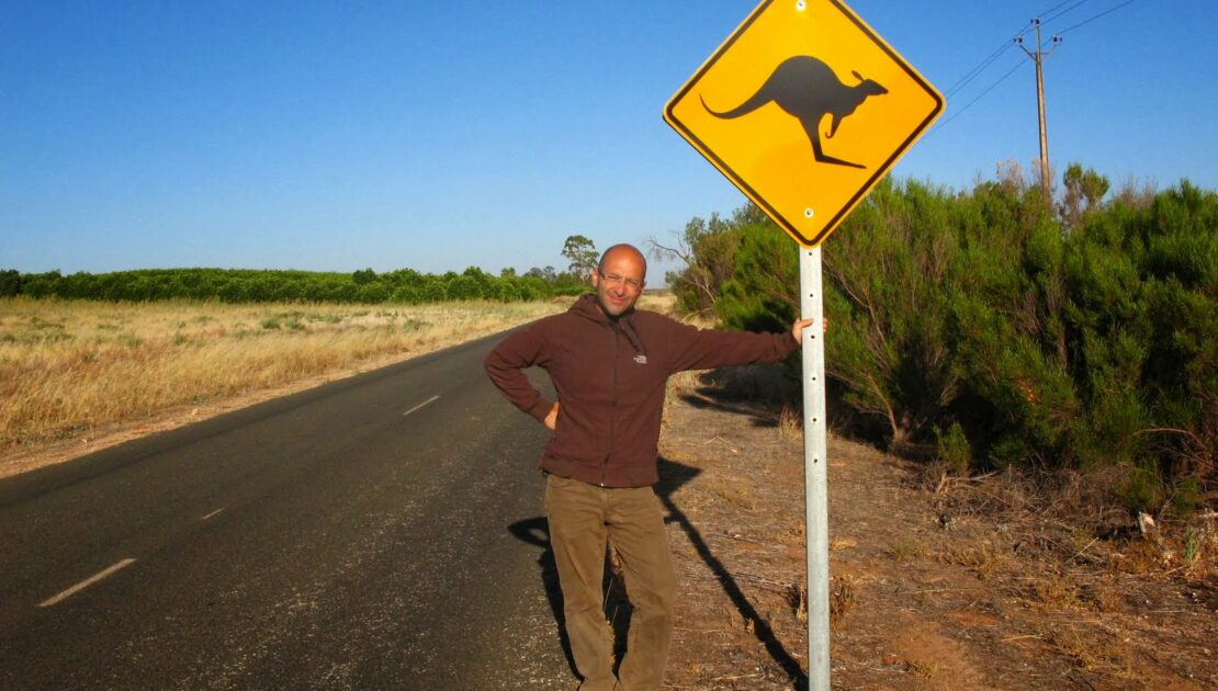
Far from the dirt roads and flat landscapes of Australian farmland, Dr Francesco Vuolo calls me from the idyllic mountainous background of Austria. Dr Vuolo speaks with me about the big data for agriculture that COALA uses for its projects, drawing from a wealth of experience working with satellite data. Based at the University of…
Curating a COALA data centre in earth observation.
- May 13, 2021
- Universität für Bodenkultur Wien
- Blog
- No Comments
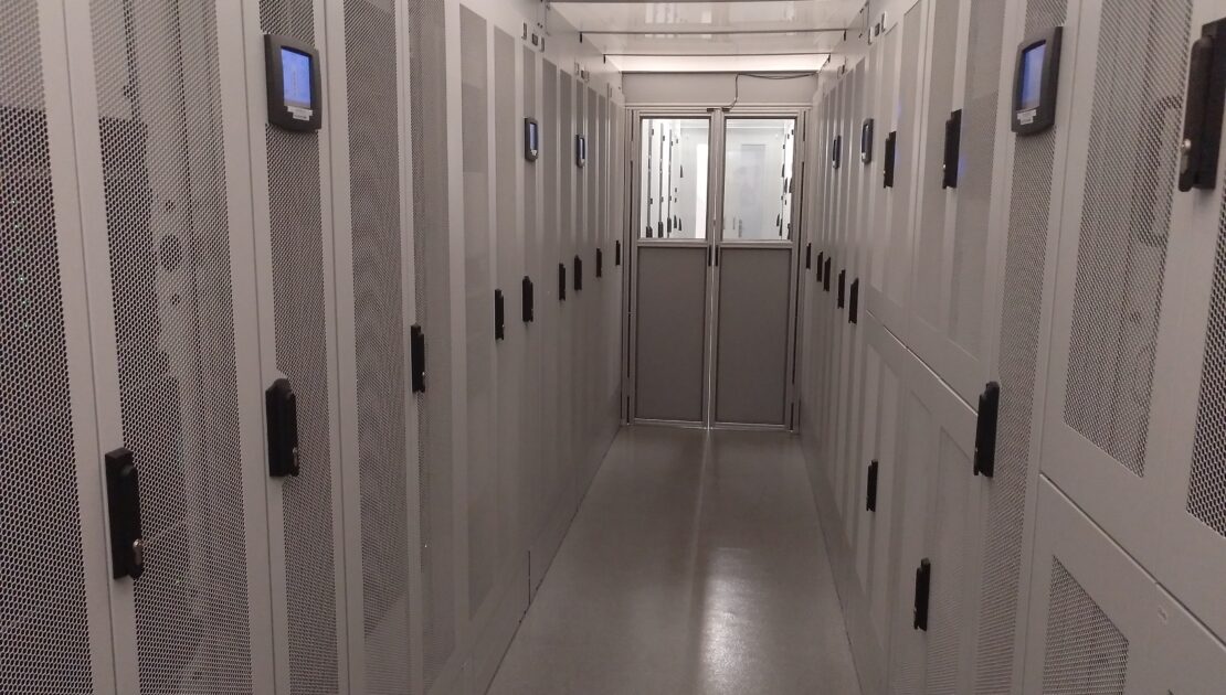
The curation of a COALA data centre is essential as access to information in real-time (or as close to as possible) is very high on the wish list of farmers and agricultural practitioners. Agriculturalists are looking for more efficient and effective ways to manage nutrients and water in their paddocks. In the first year of the…
From big tape to big data: the Digital Farming Age
- October 19, 2020
- Universität für Bodenkultur Wien
- Blog
- No Comments
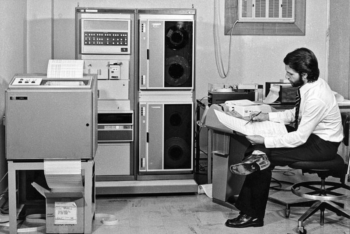
Going from big tape to big data with satellites helped us enter the ‘Digital Farming Age’. And now the COALA project benefits from this heritage. The beginning of satellite images of Earth’s land surface The systematic acquisition of satellite images of land surface started in 1972 with the U.S. Landsat program. With this data-stream, it…