
Earth Observation
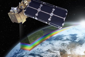
Earth Observation: Remote sensing and systems
- December 11, 2020
- Carlo De Michele
- Tutorial Students, Uncategorized
- No Comments
For almost 150 years people have recognised the advantages of getting a little distance between them and what they are studying. This is a technique we call ‘remote sensing’. “Remote Sensing” means that a measurement is taken remotely, without physical contact. The first people to do remote sensing were balloonists in the 1840s. They floated…

Water and nutrient management in Australia
- November 30, 2020
- White Research
- Blog, Uncategorized
- No Comments
Creating business value from data This blog contribution on water and nutrient management is from White Research. White Research (WR) is a social research and consulting subject matter expert. We specialise in consumer behaviour, market analysis, business planning and innovation management. During the past few months, the COALA team has been closely working together with Australian stakeholders…
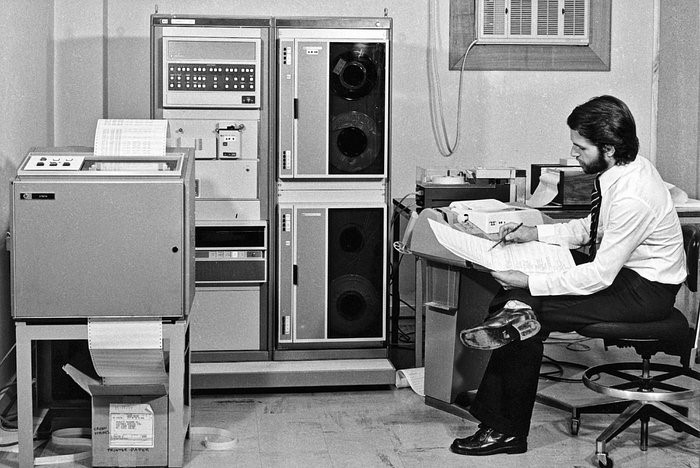
From big tape to big data: the Digital Farming Age
- October 19, 2020
- Universität für Bodenkultur Wien
- Blog
- No Comments
Going from big tape to big data with satellites helped us enter the ‘Digital Farming Age’. And now the COALA project benefits from this heritage. The beginning of satellite images of Earth’s land surface The systematic acquisition of satellite images of land surface started in 1972 with the U.S. Landsat program. With this data-stream, it…

A short history of satellites advancing humanity
- October 12, 2020
- UNSW
- Blog
- No Comments
Learning about a short history of satellites enables us to see how far we’ve come in such a small time. 60 years ago we were racing to simply get to space. Now we have started exploring further than our solar system – like Voyager 2 which is currently in interstellar space. The first satellite Forty…