
satellites
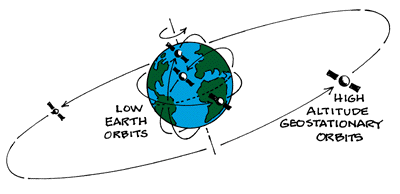
Satellite imagery records the volcanic eruption in Tonga
- January 20, 2022
- UNSW
- Blog
- No Comments
Being in the right place at the right time matters, the saying goes. And, while the satellites orbiting Earth are hundreds – or sometimes thousands – of kilometres above us, they were positioned perfectly to capture the recent volcanic eruption in Tonga of the underwater volcano Hunga Tonga-Hunga Ha’apai. The different satellites capturing this eruption…
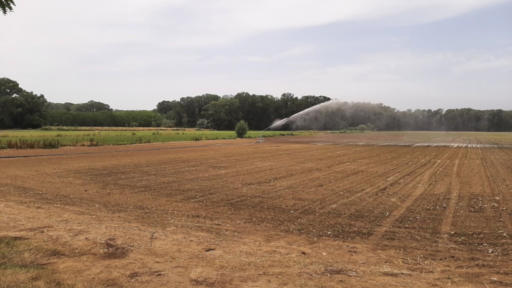
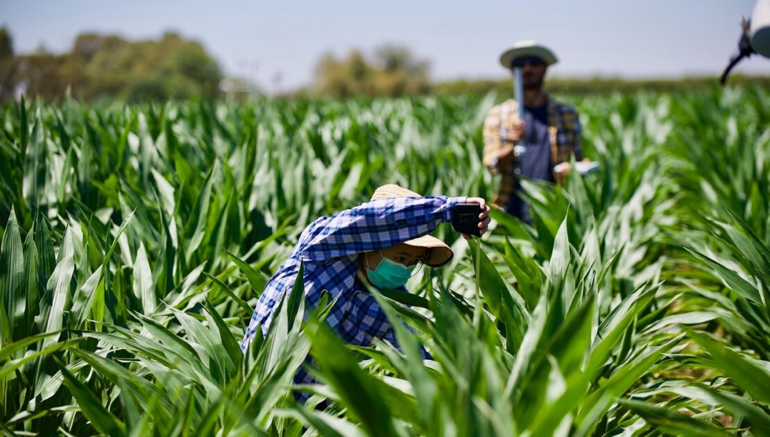
COALA addresses new challenges in precision irrigation
- June 30, 2021
- Ariespace
- Blog
- No Comments
The COALA project has been operational since January 2020. Our project uses information provided by satellites (the Sentinels) to help support Australian farmers in the Murray-Darling Basin. One of the ways that we support farmers is through precision irrigation. Precision irrigation is a farm management approach that involves using technology to make informed decisions. The…
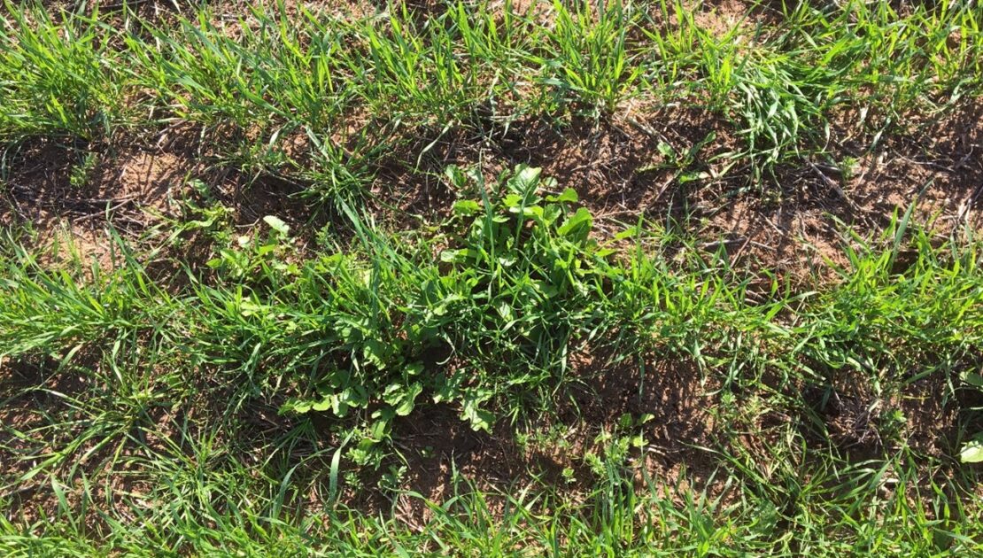
Dryland crop management supported by COALA products
- June 27, 2021
- Agrisat
- Blog
- No Comments
Two of the COALA project partners have been working throughout this past 2020 campaign to assist in managing dryland crops. Now, AgriSat and UCLM have generated satellite-derived COALA products to assist in dryland crop management in the Mallee and Wimmera regions of Victoria, Australia. The products have been generated for farms owned by BCG members….
The COALA Project: Who, What, Where and Why
- April 12, 2021
- UNSW
- Blog
- No Comments
The COALA project is developing Copernicus-based services for… supporting more sustainable use of water and nutrients in the advanced agricultural systems of Australia. sharing knowledge and expertise in the field of EO-based applications for agriculture with Australian institutions It will be a facilitator of new business experience between Europe and Australia The COALA project will…
COALA Airborne Campaigns over Farmlands in Victoria
- March 26, 2021
- University of Melbourne
- Blog
- No Comments
COALA airborne campaigns act in developing agricultural decision support for Australian farmers COALA offers a range of information to support irrigation and fertilisation management decisions using Sentinel-2 satellite data. Australian farmers’ input costs include a significant amount of water and fertilisers. Their optimal use has critical implications to various ecosystems that are sensitively influenced by…
Educational Resources
- February 5, 2021
- UNSW
- Tutorial Students
- No Comments
COALA is currently working with educational providers such as the NSW Department of Education to develop educational resources about agriculture, remote sensing and earth observation. We will update this page regularly as more resources are developed.